Integrated Planning Badya City
Cairo, 2016 - 2019
Integrated planning of a complete mixed-use development: AS+P developed the master plan for 150,000 inhabitants and the architectural design of more than 3,000 units to launch the project

Use
Urban Planning
Timeframe
2016 - 2019
Client
Palm Hills Development Company
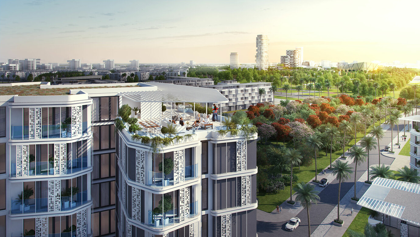
Badya’s green network links the districts with one another and leads to the central park with its wide range of leisure-time activities.
The mixed-use development Badya City is part of the 6th of October City and is situated 30 kilometres west of Central Cairo within its strategic extension area. On an area of approximately 1,260 hectares, a human-centered, green and resource efficient, all near-by city will be developed for about 150,000 inhabitants, offering about 48,000 workplaces. The integrated design team of AS+P was asked to simultaneously develop the citywide master plan as well as the architectural design of more than 3,000 units to launch the project. The integrated modular system developed by AS+P as well as the use of digital tools such as GIS and BIM early on, allows a fast, economical design and construction process and an efficient mass customisation. The design of a complete city incorporates a variety of land uses extending from housing to employment, as well as supporting functions such as retail, culture and entertainment, making it a true 24/7 city. The urban core - with a retail area, university, and sports club compound - is surrounded by six districts. This poly-centrical and multi-faceted city structure allows every resident to live close to one of these centres and its offers. Badya City's finely developed network of green linear parks represents the backbone of the overall connective tissue in between each neighbourhood of the cycling and walking city. Each neighbourhood is developed around the idea of the 'Living Street' - with the street being an extended community space rather than a car circulation area. An average population density of about 125 people per hectare allows an efficient public transport system with stops always being situated in close proximity to each resident.
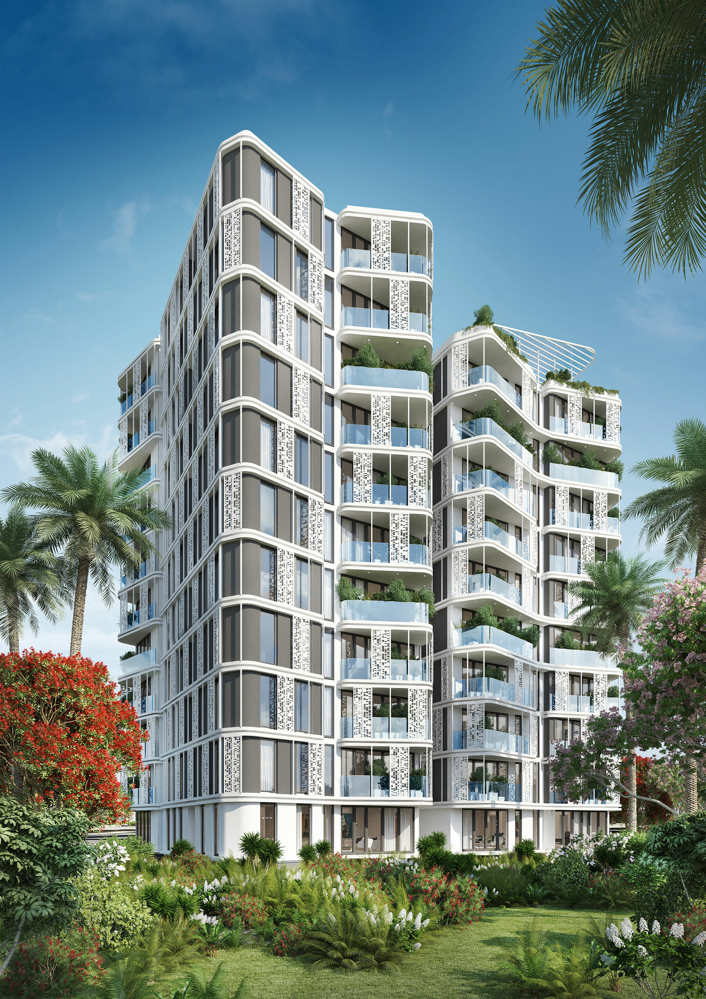
Residential tower
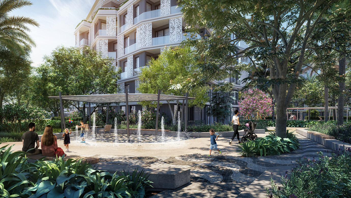
Green Courtyard
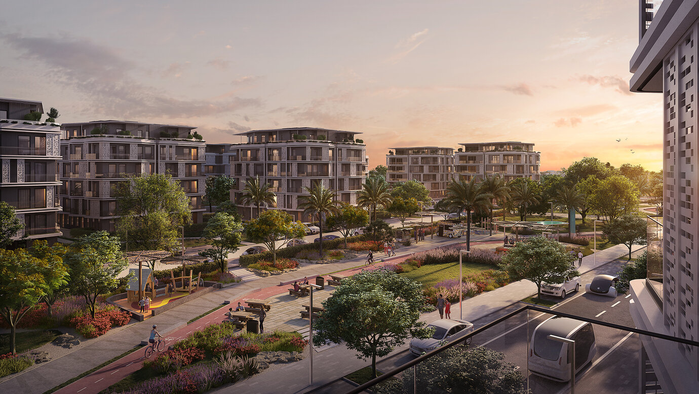
The city’s green network: Swales help improve the microclimate and retention areas serve water storage and drainage when it rains heavily
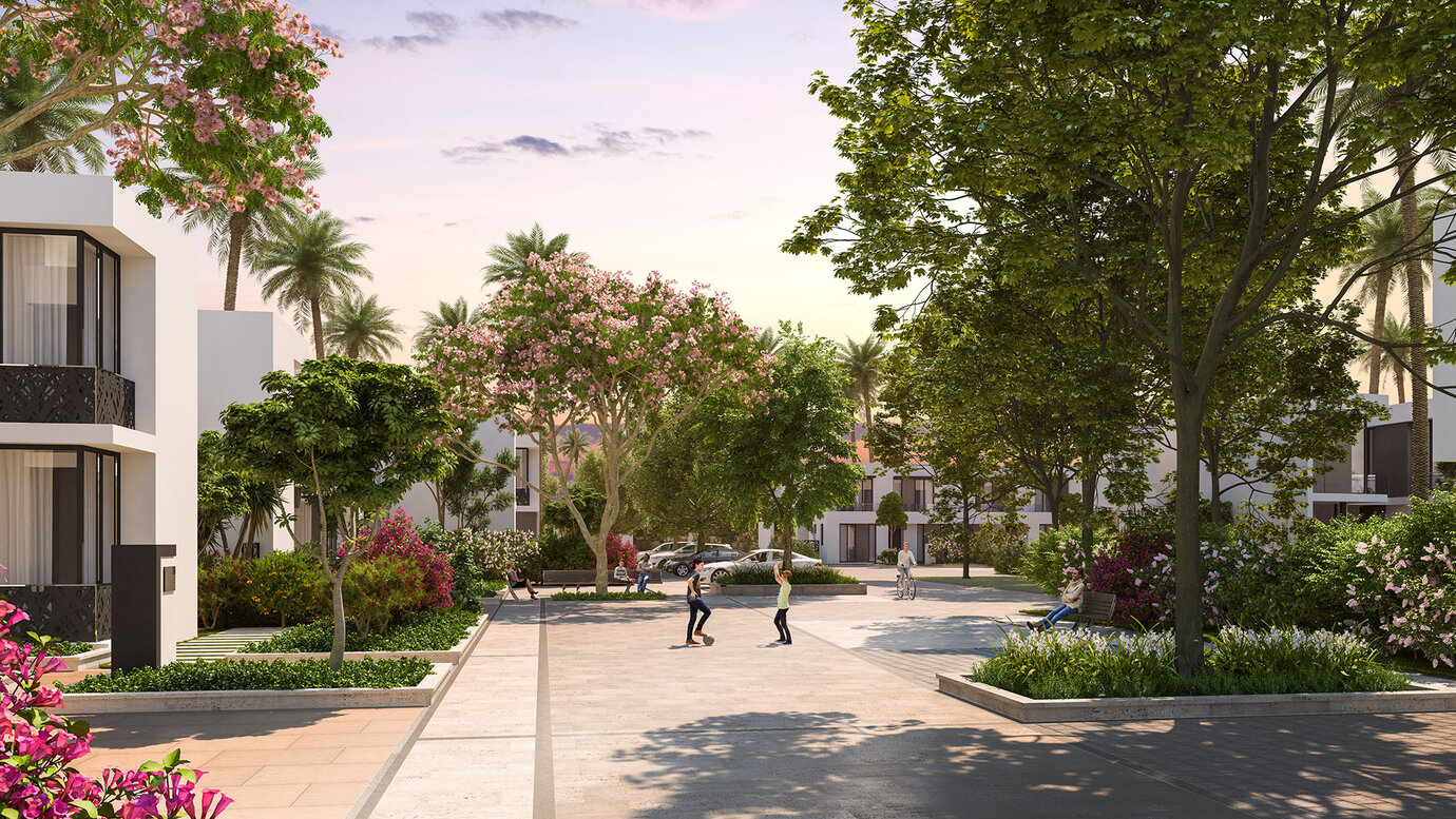
Basic idea shared space: Living Street
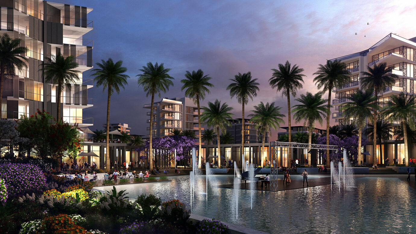
The mixed district with its central plaza serves as a public meeting point for the inhabitants
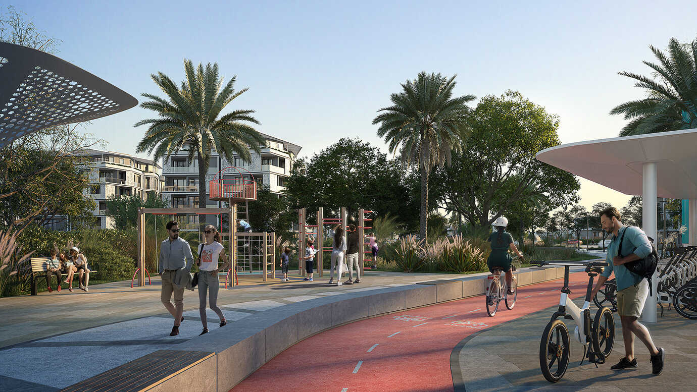
E-Bike sharing and charging station
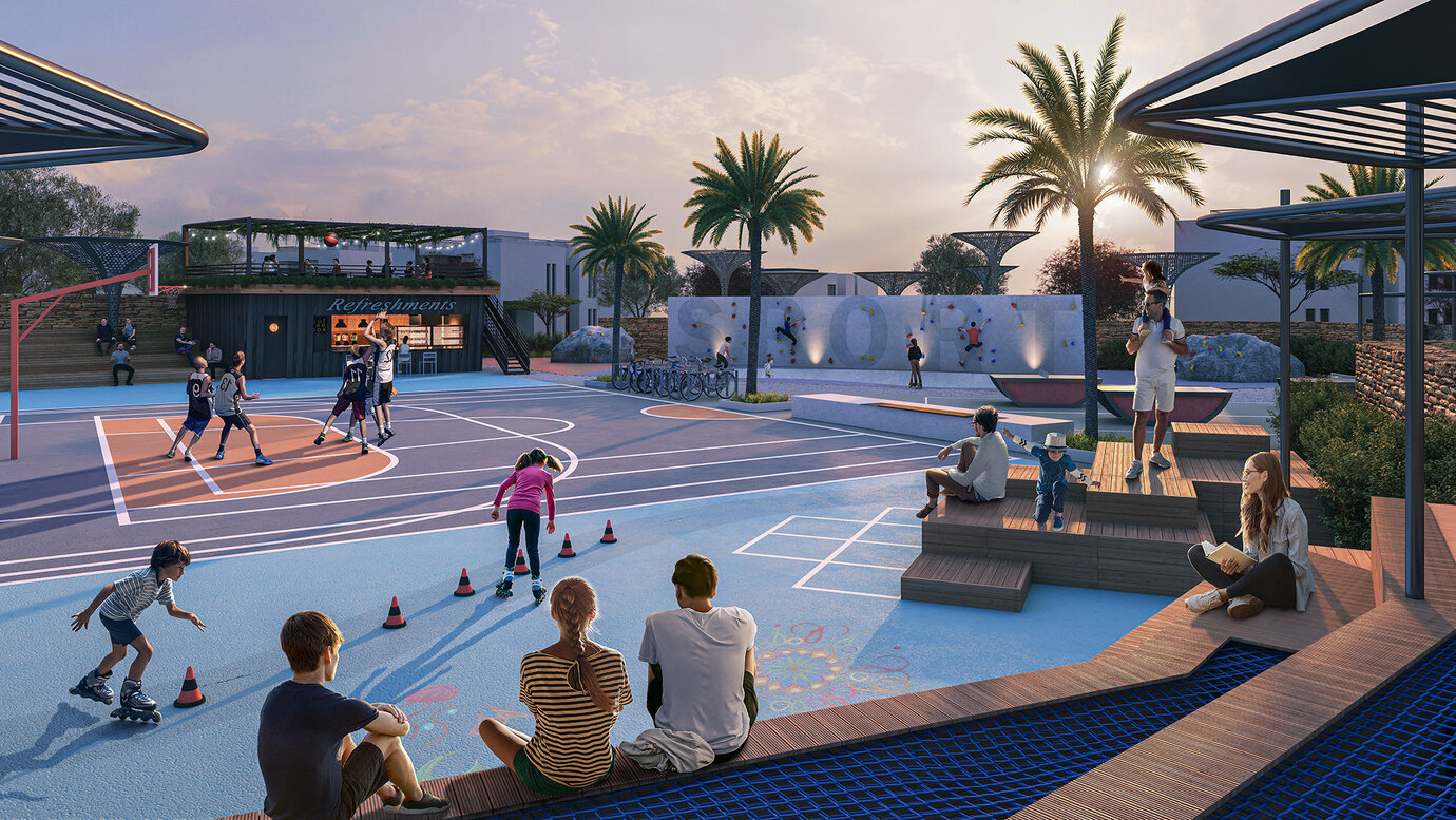
Sports park
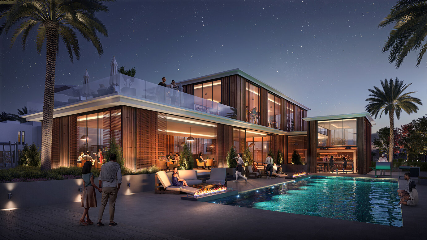
Clubhouse
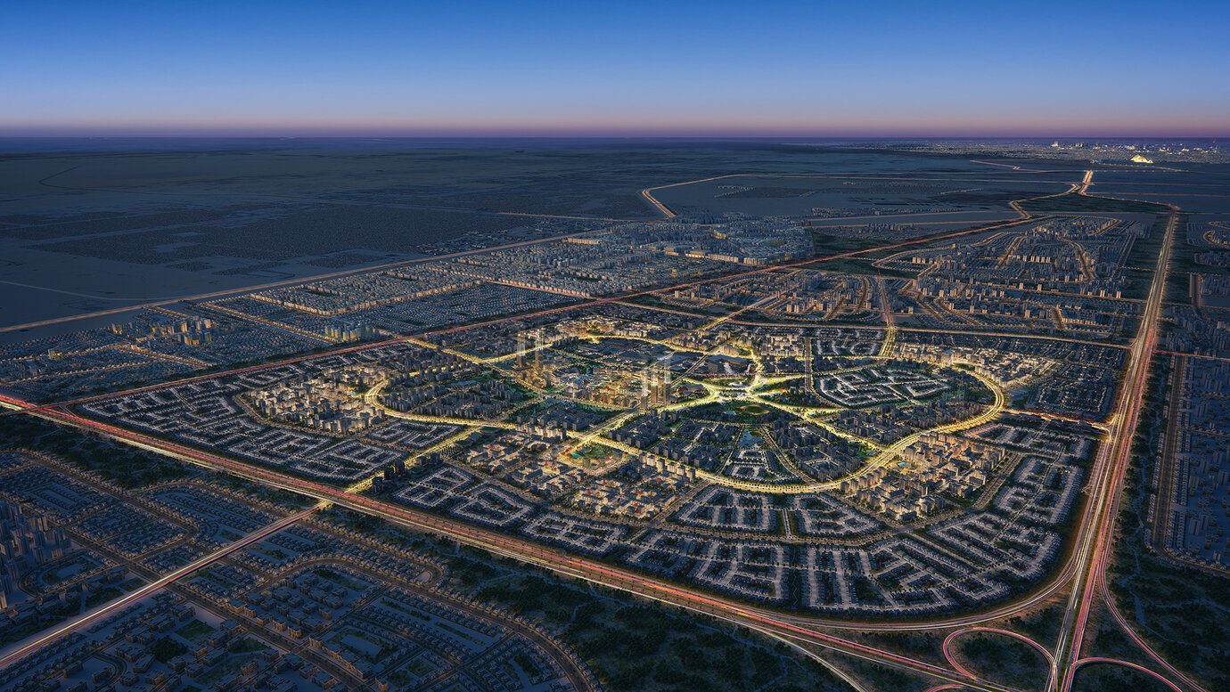
Bird's-eye view
