Open Space and Urban development Master Plan Bad Soden am Taunus 2030
Bad Soden, 2012 - 2013
Development of a interdisciplinary and cross-sectionally oriented master plan for the future urban development
Use
Landscape Architecture
Timeframe
2012 - 2013
Client
City of Bad Soden
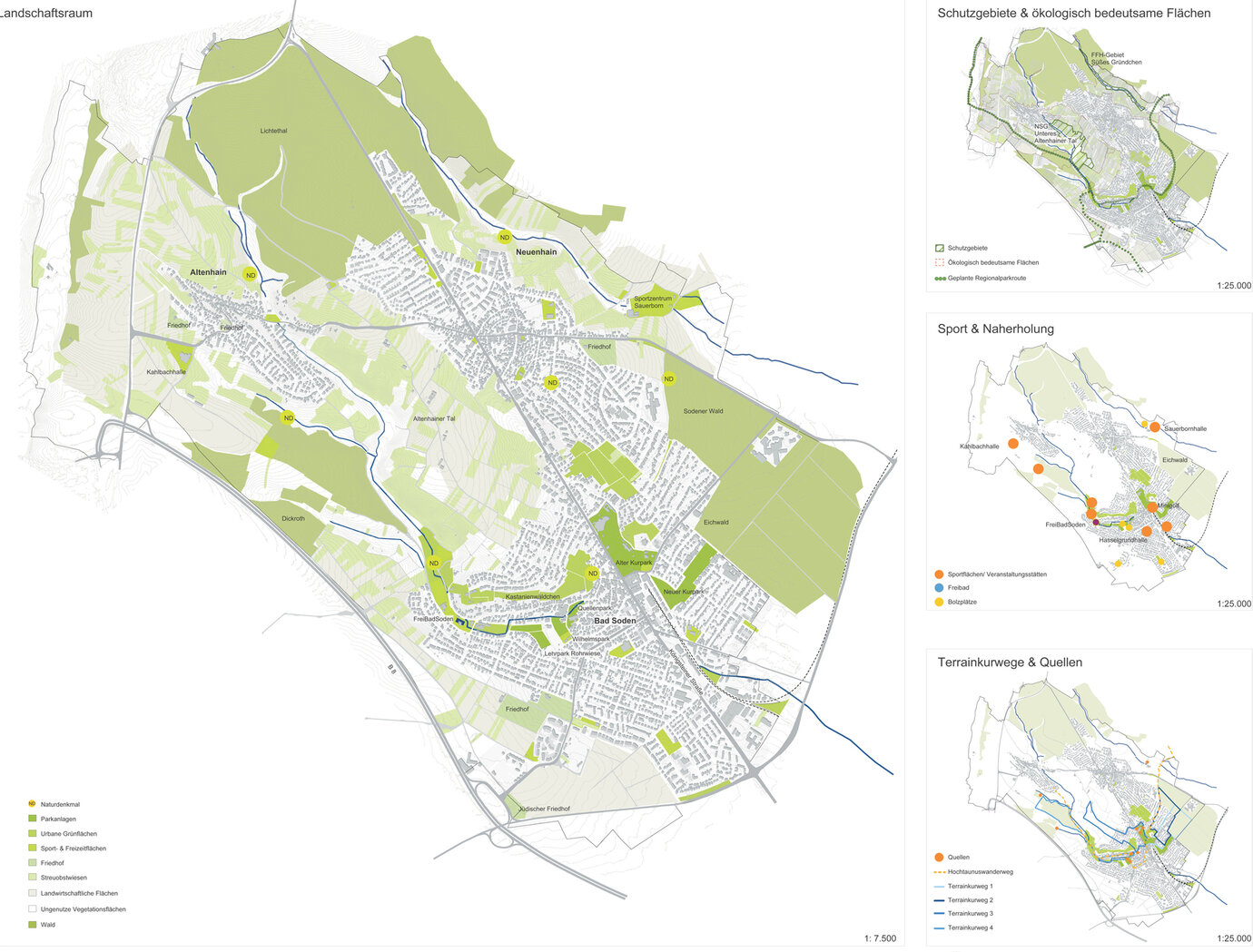
footpath connections
Nestling in a desirable spot in the southern foothills of the Taunus, the town of Bad Soden am Taunus (around 22,000 inhabitants) is located in the dynamic Rhine-Main region. An urban development concept is intended to define more closely the potential the green-belt town offers and to draw up guidelines for the long-term development of the downtown area and the two districts that go to make it up. The Urban Development Concept 2030 draws up an overarching guideline and on this basis defines a framework for Bad Soden's long-term development. The plans embrace an overall urban development concept, taking fundamental issues (transport, landscape planning, social interaction, demographic processes), as well as specialist and spatial concepts into account. With a view to the continual, coordinated implementation of the concept, key projects have now been identified and their feasibility substantiated by test planning and proposals for the next steps to be taken. During the course of the process, which lasted around 12 months, a multi-tier participatory process (citizens' forums, Internet participation, discussions with involved parties, an all-day citizens' workshop, a steering group) ensured that the citizens of the town, the relevant town representatives and bodies (committees, town council) were closely involved in the proceedings.
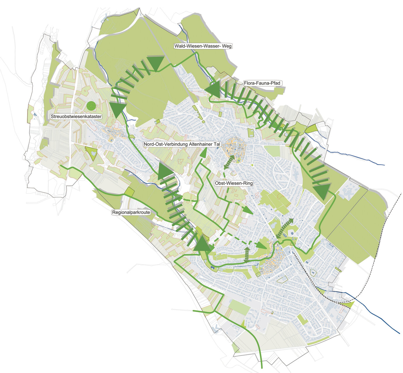
footpath connections
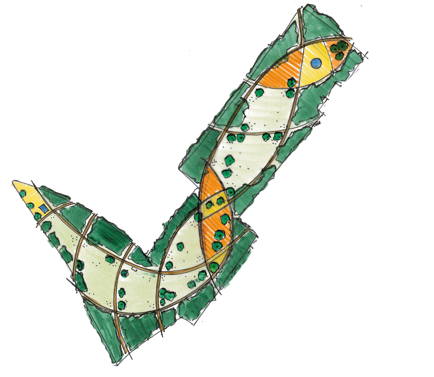
Schlüsselprojekt Mehrgenerationenpark
Altenhainer Kreuz
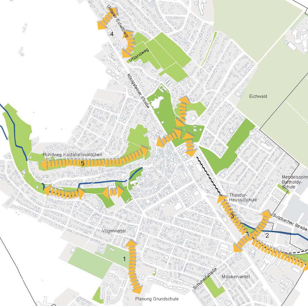
Altenhainer Kreuz
